Garmin
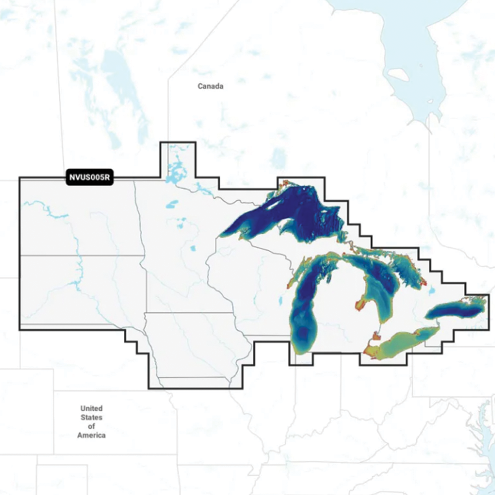
Garmin Navionics Vision+ US North - 010-C1289-00
Garmin Navionics Vision+ US North - 010-C1289-00
North Region
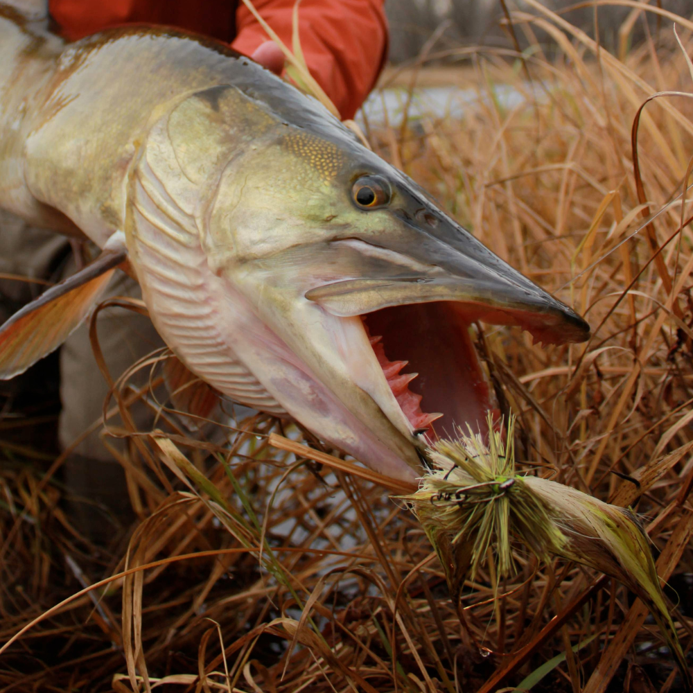
Thorne Bros - 10091 Central Ave. - PH# 763.572.3782
10091 Central Ave NE
Blaine MN 55434
United States
Fish-Lectronics - 1109 Cty. Rd. 10 - PH# 763.571.1277
1109 County Road 10
Minneapolis MN 55432
United States
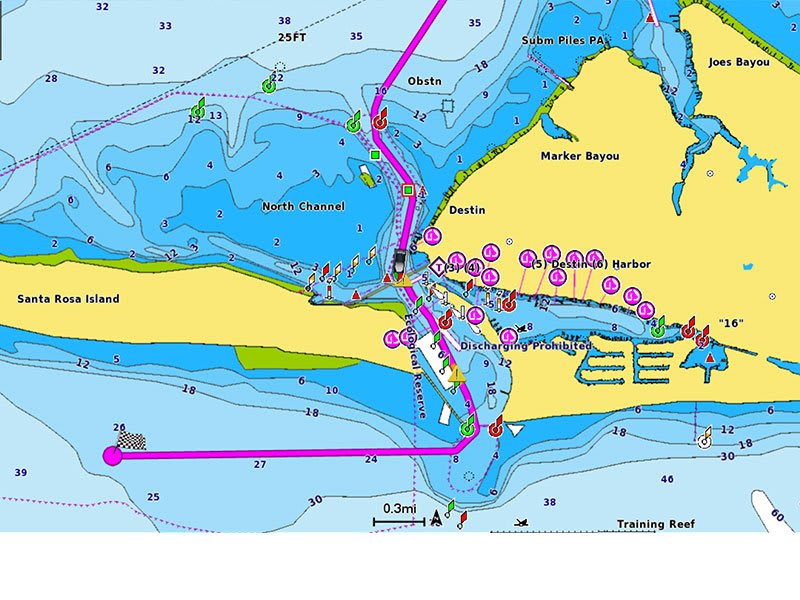
ALL-IN-ONE MAP SOLUTION FOR GARMIN CHARTPLOTTERS
Access detail-rich mapping of coastal features, lakes, rivers and more. Integrated Garmin and Navionics® content offers coverage for boaters worldwide.
DAILY CHART UPDATES
Charts are constantly being enhanced with new and amended content — as many as 5,000 updates are made every day. Your one-year subscription includes access to daily chart updates via the ActiveCaptain app.
AUTO GUIDANCE+ TECHNOLOGY
Combining the best of Garmin and Navionics automatic routing features, built-in Auto Guidance+ technology2 gives you a suggested dock-to-dock path to follow through channels, inlets, marina entrances and more.
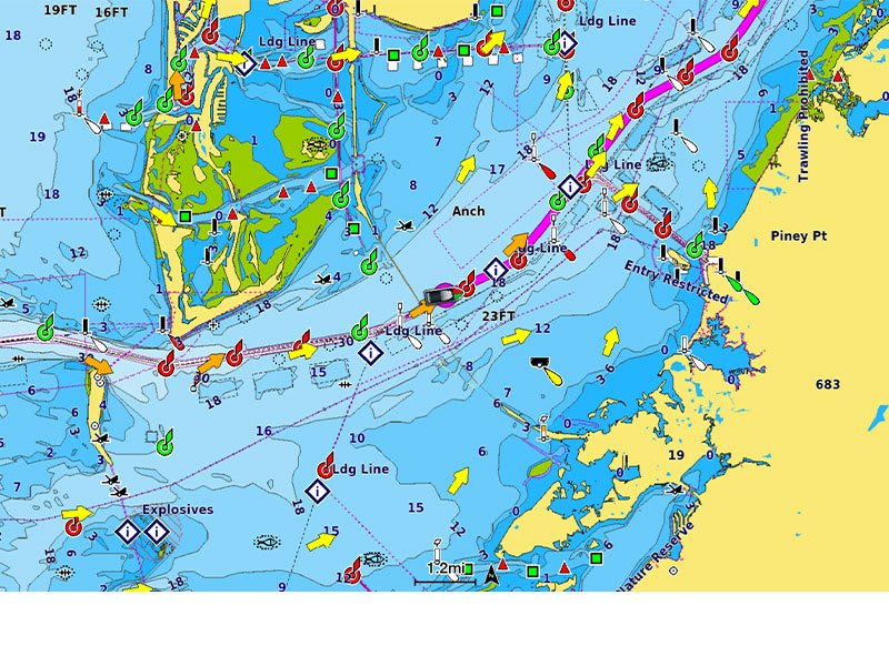
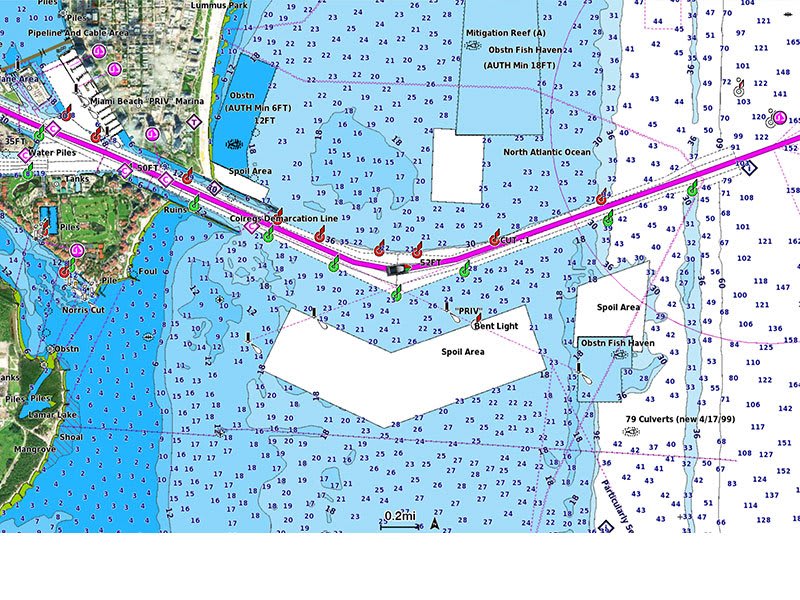
DEPTH RANGE SHADING
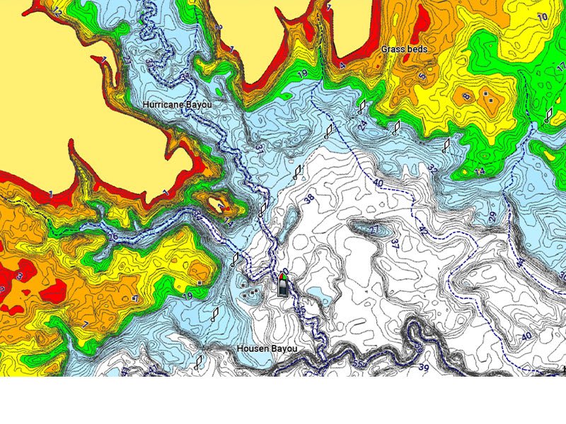
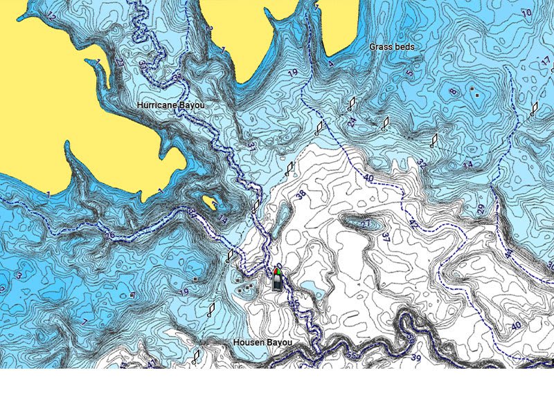
High-resolution depth range shading lets you select up to 10 color-shaded options and view your designated target depths at a glance.
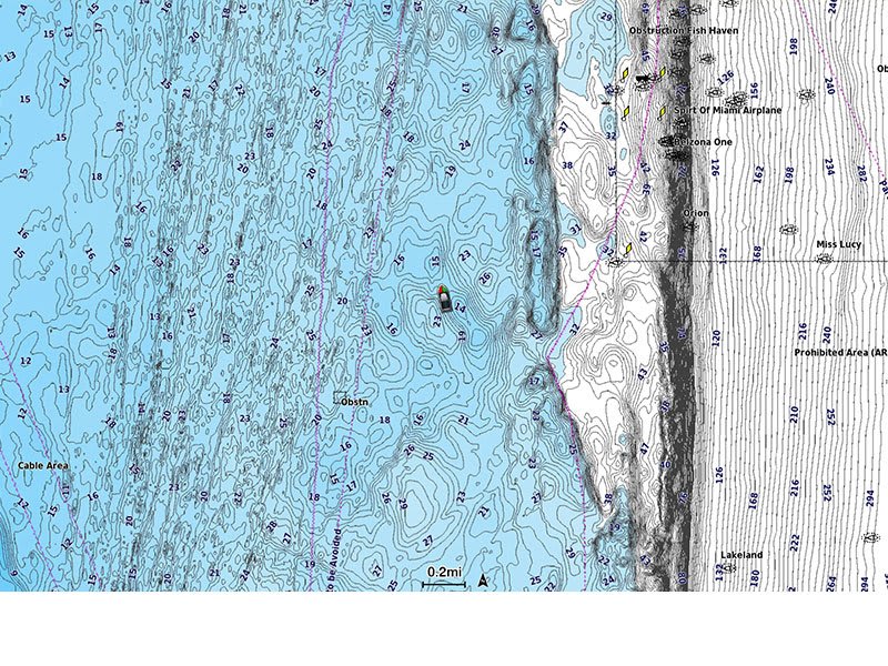
UP TO 1’ CONTOURS
For improved fishing and navigation, up to 1' contours provide a clear depiction of bottom structure for improved fishing charts and enhanced detail in swamps, canals, harbors, marinas and more.
SHALLOW WATER SHADING
To give a clear picture of shallow waters to avoid, this feature allows for shading at a user-defined depth.
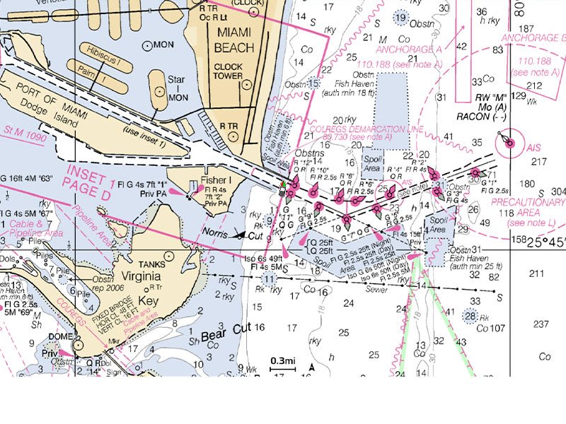
RASTER CARTOGRAPHY
NOAA raster cartography3 is available for some U.S. waters as a free downloadable feature via the ActiveCaptain app to provide paper chart-like views on your plotter.
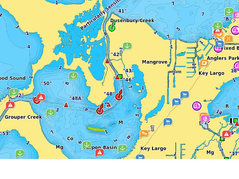
ACTIVECAPTAIN COMMUNITY
Community-sourced content provides useful POIs, such as marinas, anchorages, hazards, businesses and more. Get recommendations from boaters with firsthand experience of the local environment.
Rear/Fore Grip Handle Material
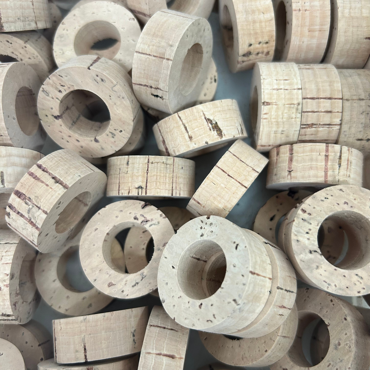
cork
A Classic look and feel. We use only the highest grade of cork when making our custom rods. This is the standard option, and our most popular.
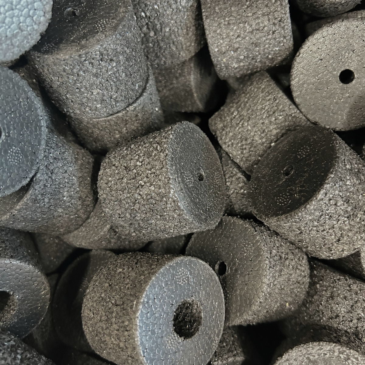
Duracork
Duracork is an inorganic material that will not dry-rot or deteriorate. It is incredibly durable, and slightly lighter then regular cork. It has a rough texture, but smooths out after use.
main guide wrap nylon

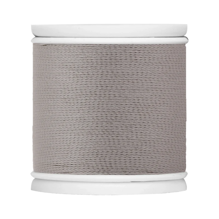
Black 862

Ghost Grey 819

fire red 325

merlot 349

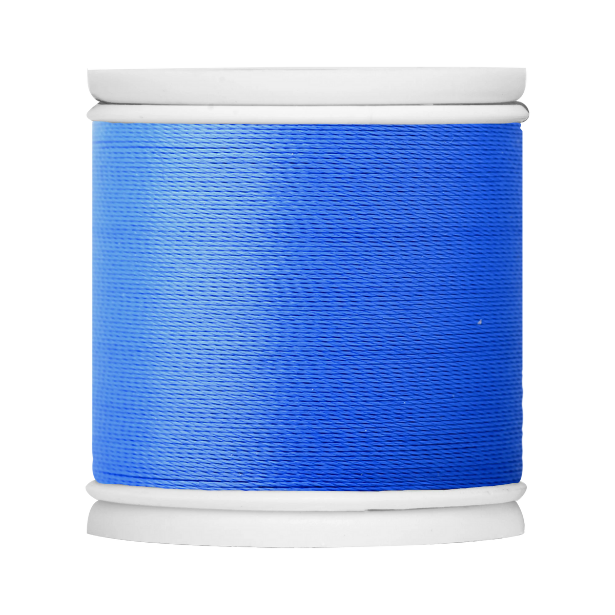
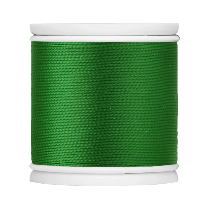
bluegill 422

cobalt 455

island lagoon 413

purple 631

oak leaf 525

olive 558

guacamole 513
main guide wrap colorfast
ghost grey 819

merlot 349
bluegill 422
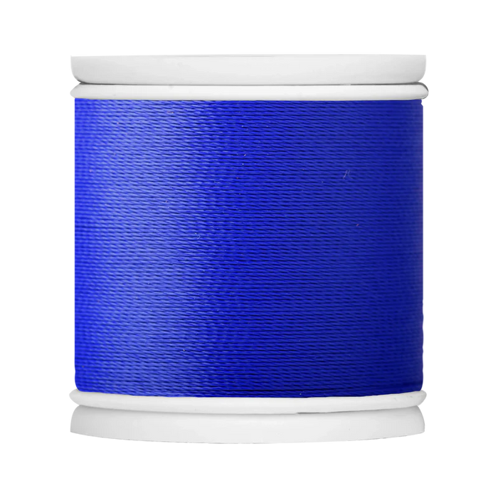
colbalt 455
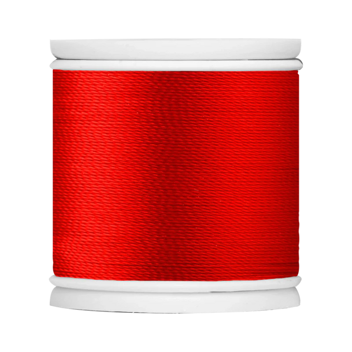
fire red 325
oakleaf 525
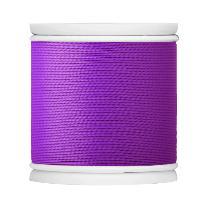
purple 631
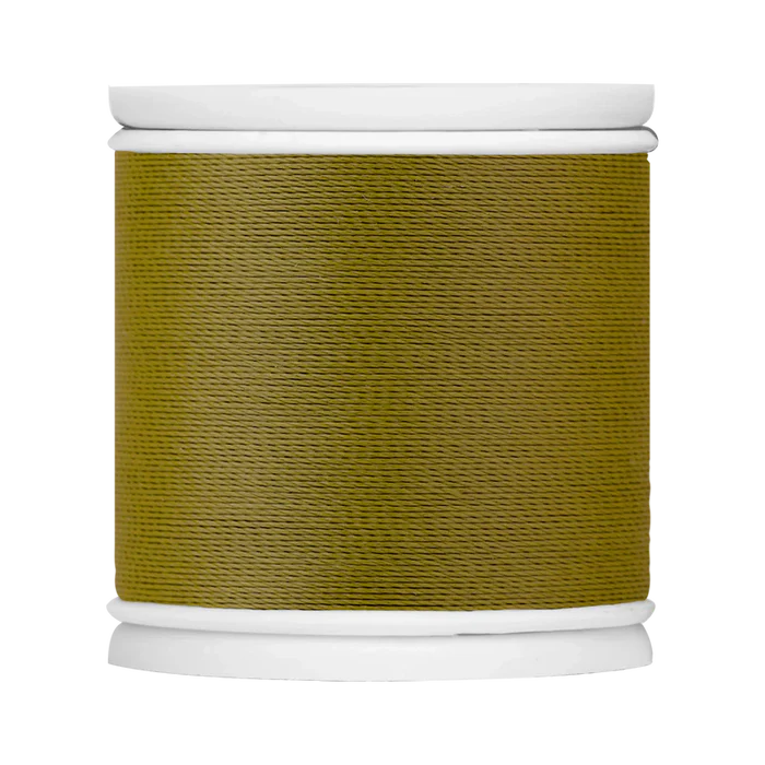
olive 588
guacamole 513
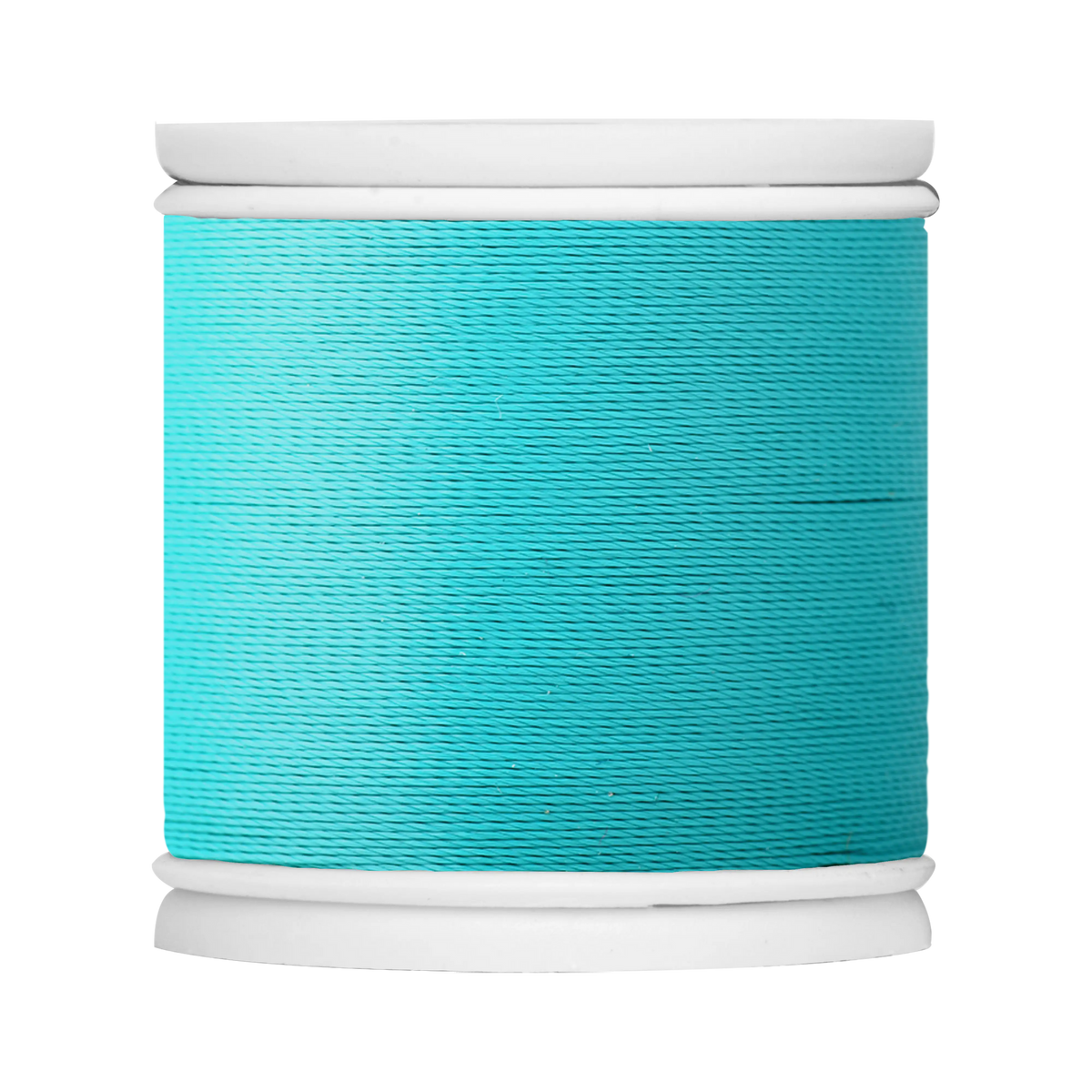
island lagoon 413

taxi 119
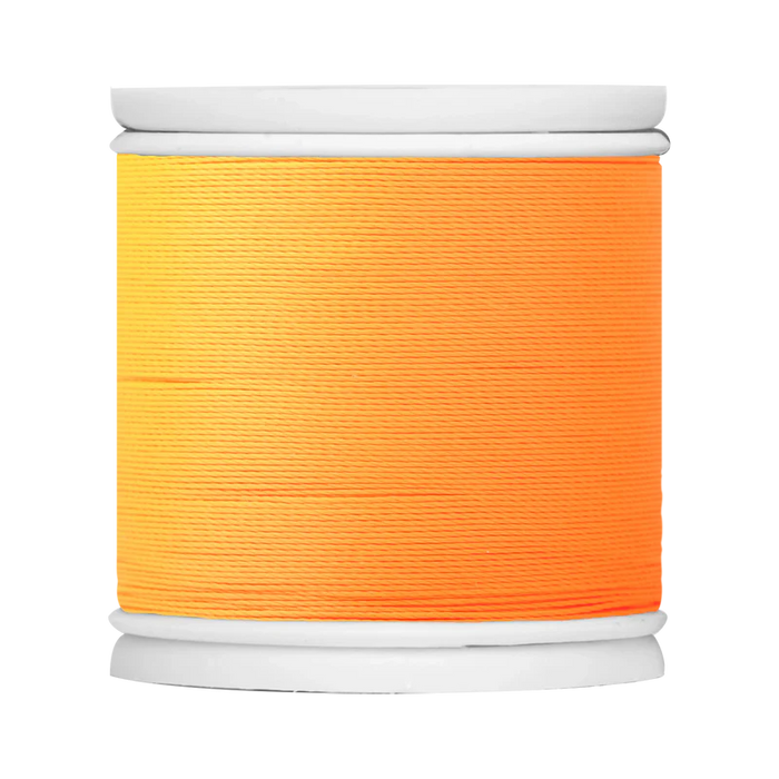
neon orange 225
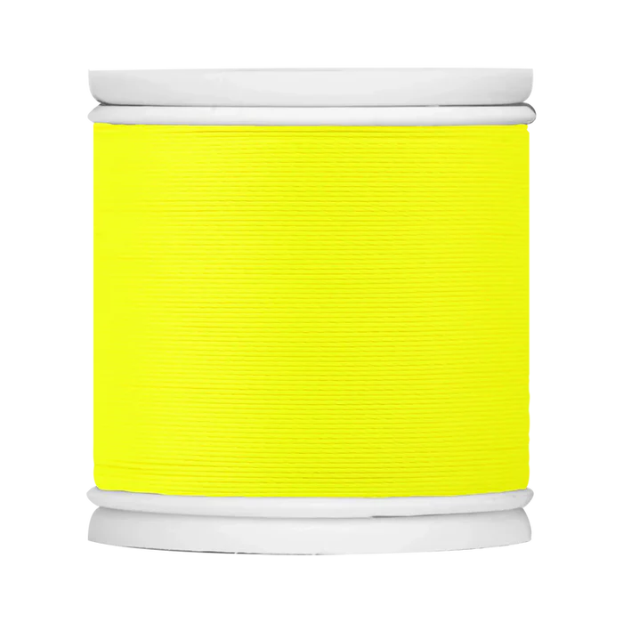
neon yellow 122
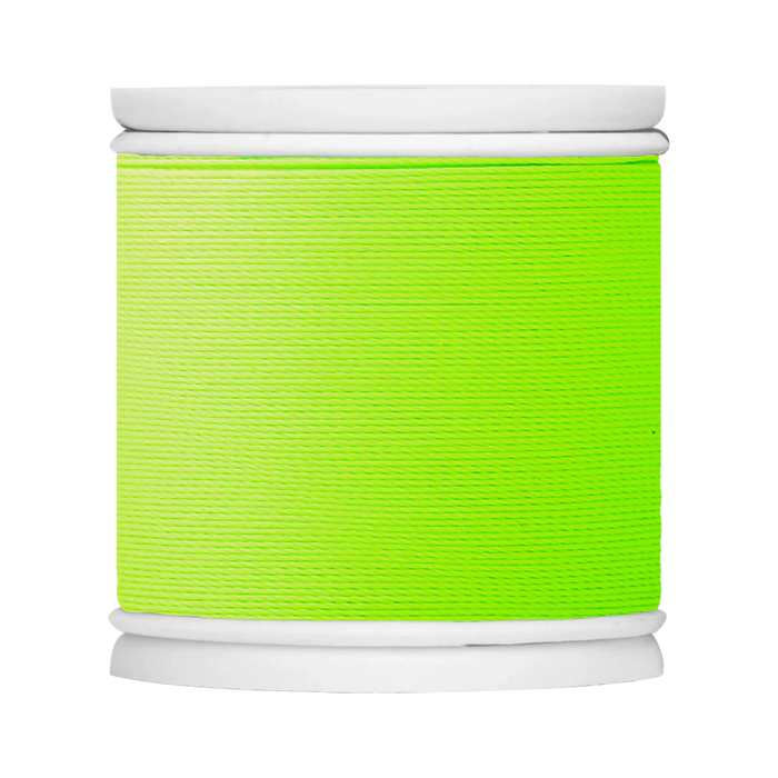
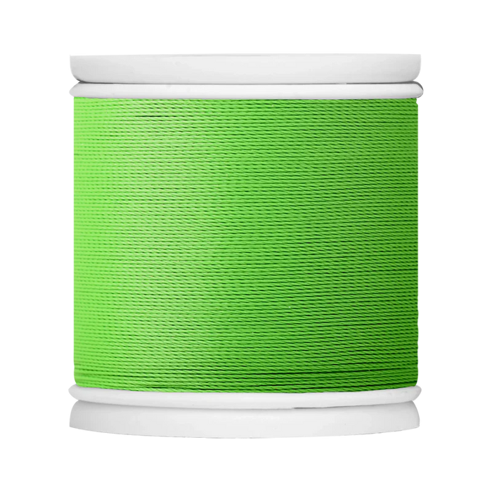
neon green 552
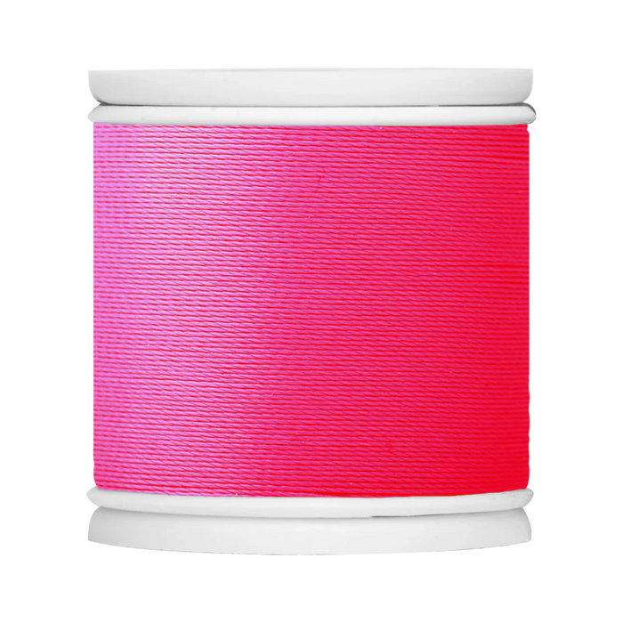
neon pink 361
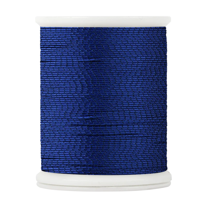
trim band metallic
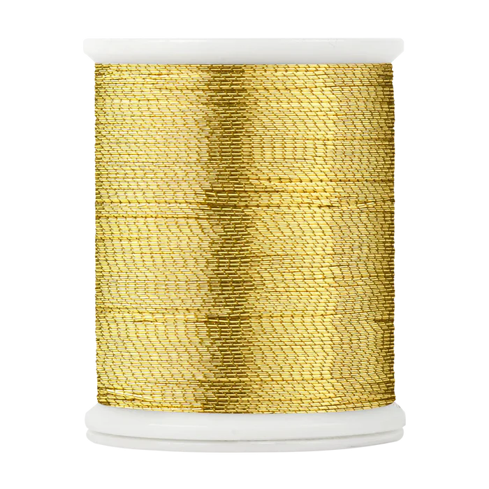
metallic gold 9130
metallic blue steel 9850
metallic pewter 9830
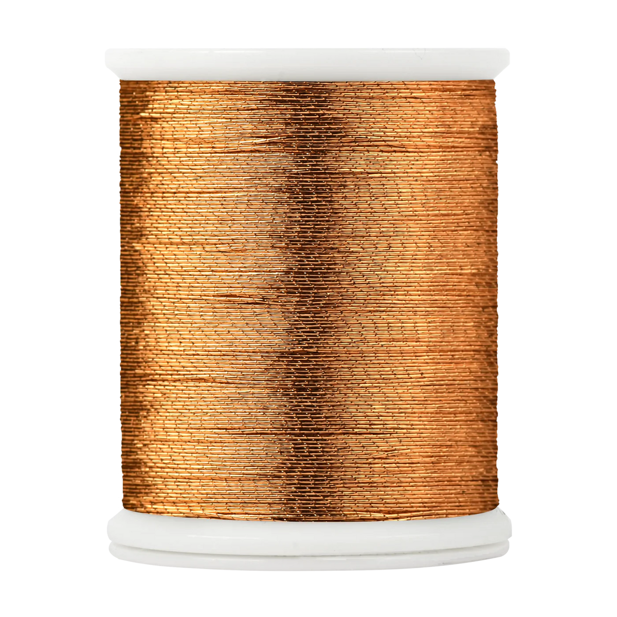
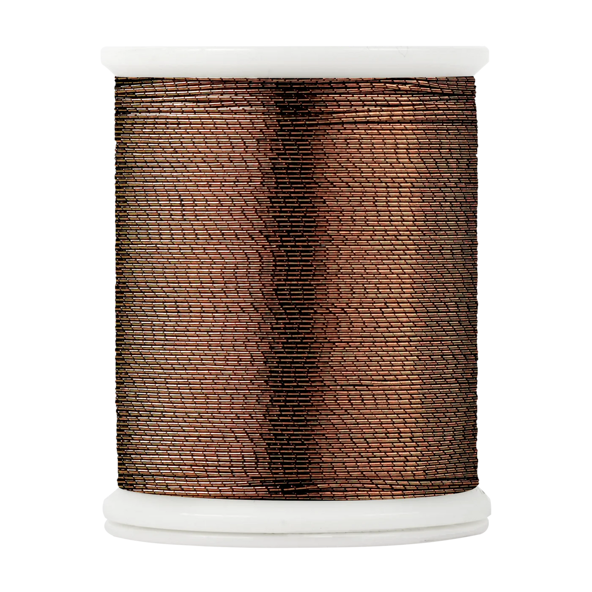
metallic copper 9710
metallic deep blue 9460
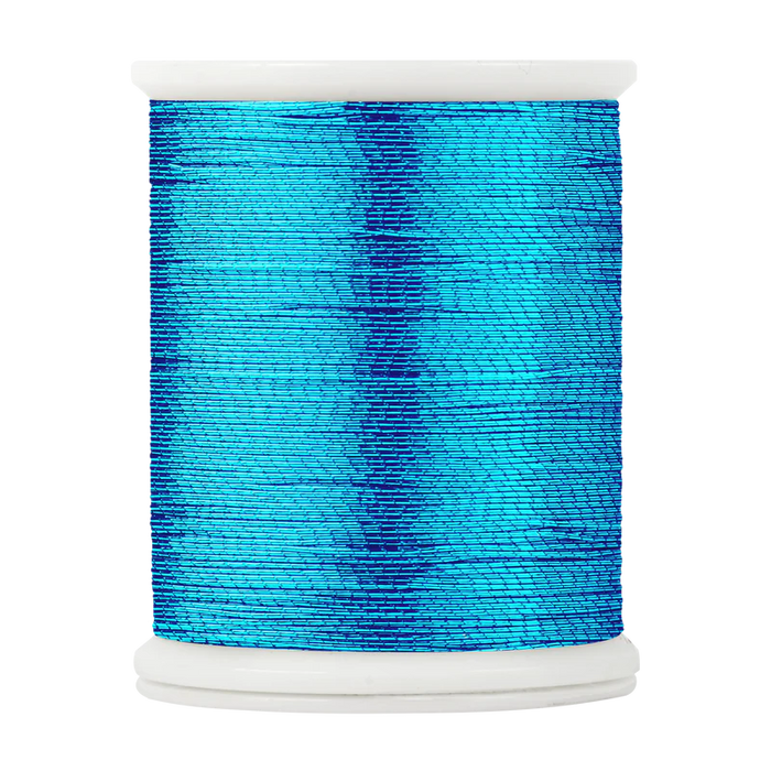
metallic aqua 9410
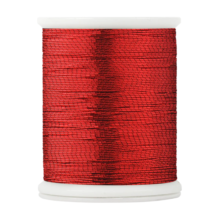
metallic red 9300
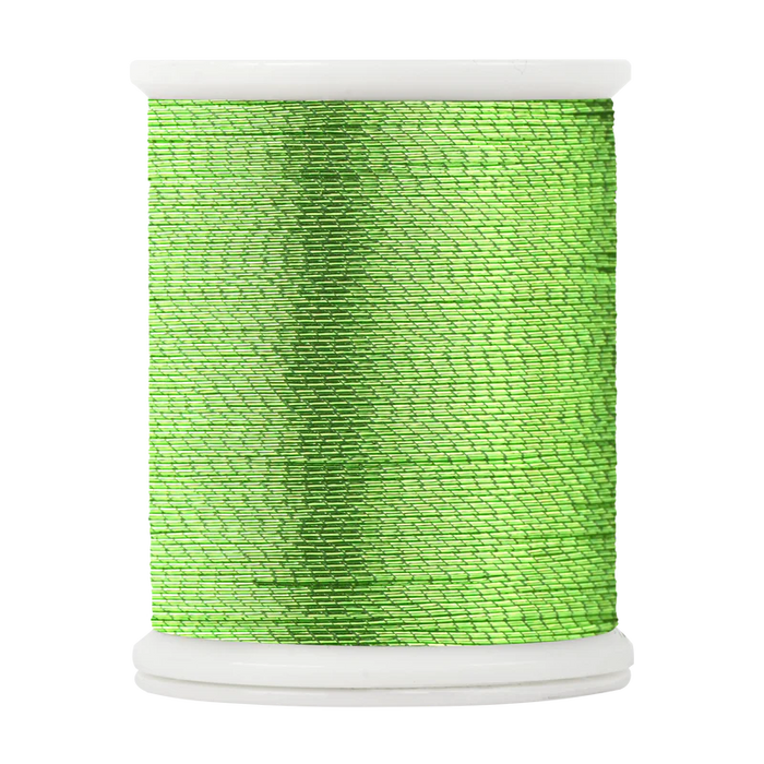
metallic lime 9510
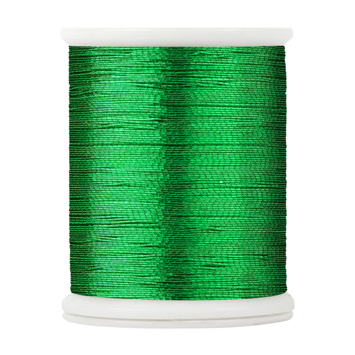
metallic green 9520
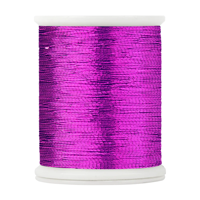
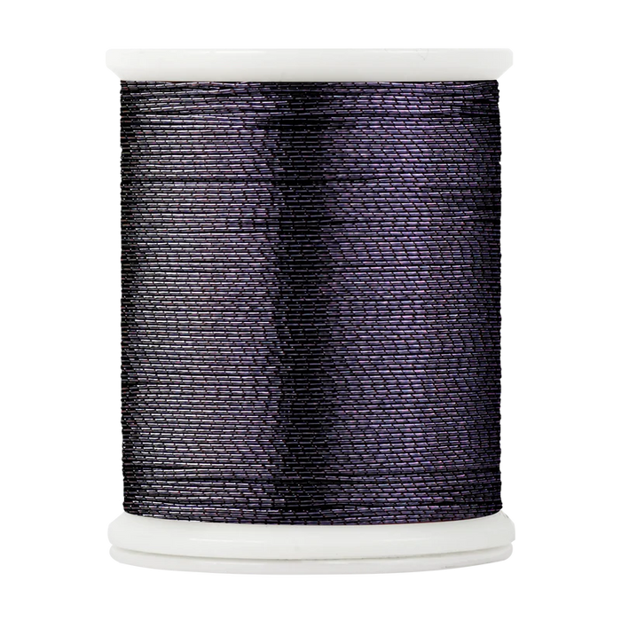
metallic purple 9600
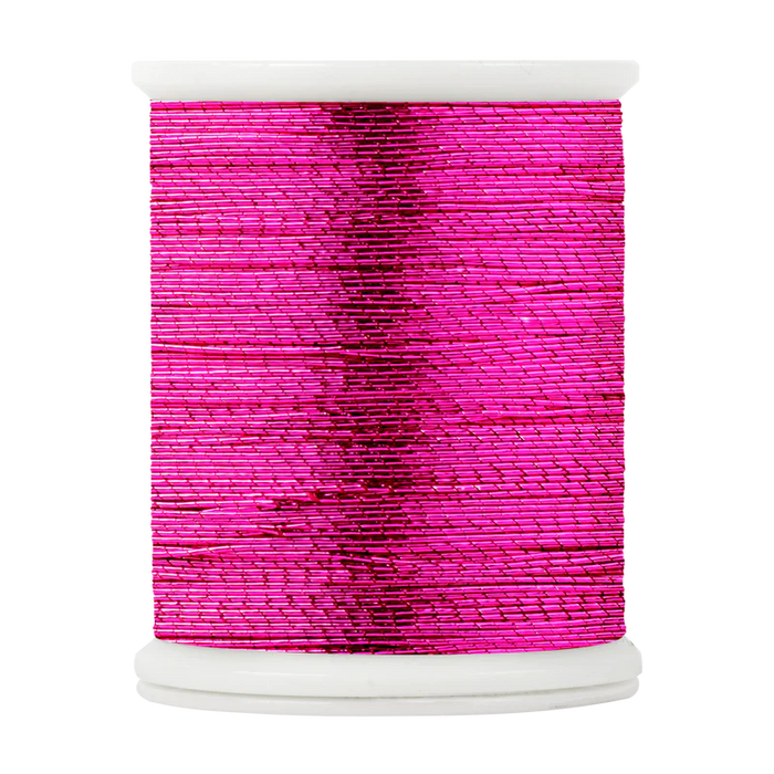
metallic fuchsia 9610
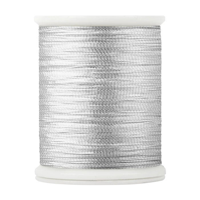
metallic silver 9860
trim band colorfast
ghost grey 819
merlot 349
bluegill 422
colbalt 455
fire red 325
oakleaf 525
purple 631
olive 588
guacamole 513
island lagoon 413
taxi 119
neon orange 225
neon yellow 122
neon green 552
neon pink 361
