
Navico
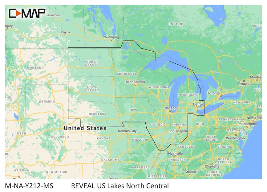
C-Map Reveal US Lakes North
C-Map Reveal US Lakes North
Thorne Bros - 10091 Central Ave. - PH# 763.572.3782
10091 Central Ave NE
Blaine MN 55434
United States
Fish-Lectronics - 1109 Cty. Rd. 10 - PH# 763.571.1277
1109 County Road 10
Minneapolis MN 55432
United States
Choose options
Cruising, fishing or sailing, C-MAP® REVEAL™ Lakes charts offer the very best of C-MAP. With Shaded Relief, including game-changing Reveal Seafloor Imagery, Aerial Photography and Satellite Overlay presentation added to the core C-MAP features found in DISCOVER™ – full-featured Vector Charts, with Custom Depth Shading and subscription-free Easy Routing™. It also includes the very best of C-MAP High-Res Bathy, including integrated Genesis® data. Purchase includes a full 12 months of online updates.
Compatible with Lowrance, Simrad & B&G Chartplotters.
⚠️ WARNING: Cancer and Reproductive Harm - www.P65Warnings.ca.gov.
Important Notice – Jigs and Sinkers
- The sale of this item may be restricted in Maine (ME), New Hampshire (NH), Vermont (VT), and New York (NY).
- Please check your local laws and regulations before ordering or using this product.
- Thorne Bros is not responsible for orders placed in violation of state restrictions.